


Northport's weather data goes public
Northport 
17 May 2012
Press Release
For Immediate Release
Northport’s weather and tide monitoring to be shared with boaties
Weather and wave data collected through Northport’s telemetry system is now available on Northport’s website, www.northport.co.nz.
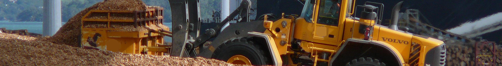
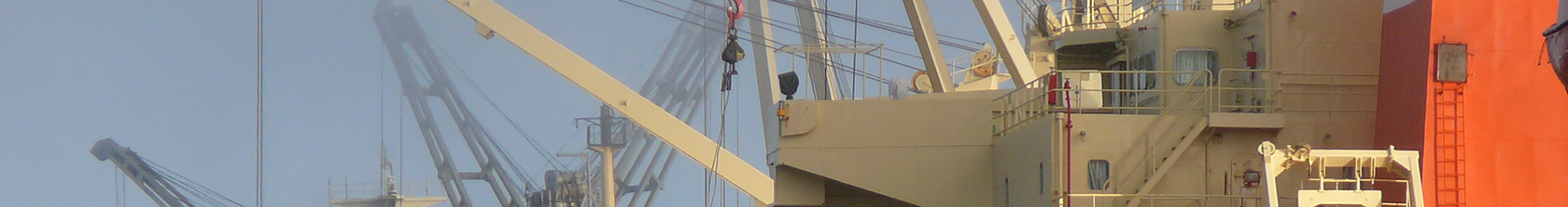
Northland’s deep water port has in place buoys and metrological equipment to record the inner and outer harbour conditions for the safe navigation of shipping traffic to and from Marsden Point.
Now these records will be available for viewing by the public.
Northport Chief Executive Officer Jon Moore says the data displayed is in real time, and will be automatically updated every 4 minutes on the website.
“We are hoping that anyone wanting to make a decision about whether to enjoy a day out on the bay fishing or boating can find this information useful. Having real-time information will hopefully make their boating safer,’’ Mr Moore says.
Information recorded includes wind speed and direction, water and air temperature, humidity, barometric pressure, tidal levels, rainfall, wave height, wave period and wave direction.
Recording locations are at Northport’s administration building, Tug Jetty, No2 berth and a wave buoy located NW of the Fairway buoy. A second wave buoy will be added to the Northport network in July.
Users of the site are reminded that there will be some fluctuation in data especially winds speeds, as the recording locations are at heights of 8m, 15m and 41m from chart datum.
Northport says boaties should always take care when anchoring or travelling near the commercial shipping channel. They should listen on VHF Channel 19 for shipping movements.
And with any smart phones, they can check the weather conditions through the Northport website even while out on the bay.
-ends-
For more information and comment, please contact Jae Staite, 09 432 5010.